WALKING IN THE KINGDOM OF KERRY!
So many walks and hikes, just beyond our front door...
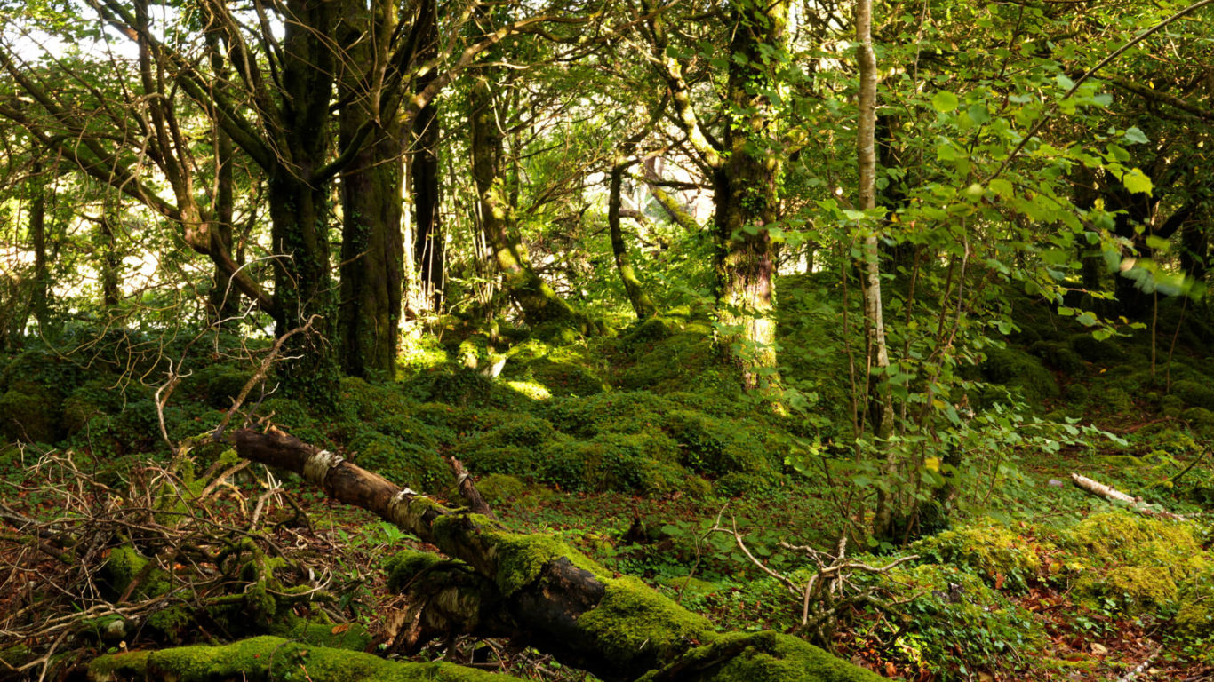
Ballyseedy Wood Walk – Ballyseedy Wood dates back at least to the 16th centruy when it was first mapped for Sir Edward Denny. Further planting took place by Col. J Blennerhassett in the early 18th century who had his castle nearby. Today, Ballyseedy is a sustainable woodland recreational amenity for the people of Kerry and visitors alike. It is a unique and tranquil retreat which extends to nearly 80 acres. It has at least 22 varieties of native trees and they are marked with their Gaelic and English names in the woods. As you wander along the Old Coach Road which served the Blennerhassett estate and plantation, look out for the majestic Ash, Oak and Beech trees – they have been frowing here for centuries. There are a number of ruins and folllies within the wood, dating back to the 17th century, with the River Lee (from which Tralee takes its name) forming the woodlands northern boundary.
Glengeenty Loop Walk – Glenageenty is an area of mystery, myth and folklore, a wild and rugged landscape that was once the sanctuary to some famous heroes and bandits alike. This loop is the shorter of two loops and it takes you along its riverbanks and woodlands to listen to singing birds, gurgling streams, and the underfoot crunch of fallen hazelnuts and oak leaves – a paradise of peace and tranquillity. For those with an interest in birdlife, ravens, hen harriers, kestrels, pheasants and cranes are all regular sightings – for nightimers it’s a haven for bat life!
Tralee Lee Valley Walk – Step Back in Time with this picturesque walk along the old tow path of Tralee Ship Canal to Blennerville Village with the Slieve Mish mountains as the backdrop. Crossing the Canal Swing Bridge and Blennerville Road Bridge with fine views of Tralee Bay and the restored Windmill. Returning along Kearney’s Road with Tralee Bay Nature reserve on your left. A gradual rise to Healy’s Cross and return via the leafy suburb of Ballyyard Hill to Aqua Dome Car Park.
Torc Waterfall Walk – Begin your route at Muckross House, leaving the Estate along the Lake Loop, but taking a right turn as you go. You’ll climb steadily through the trees to cross the Owengarriff River, just above the main falls. A series of steps leads you back down through the woodlands on the eastern side of the river to the viewpoint of the 18m high Torc Waterfall cascade. The trail continues by passing through a dry in the road bridge before rejoining the Lake Loop and returning to Muckross House
Muckross Lake Loop – Make your way along the signposted route from the 19th century Muckross House, stopping off to discover the traditional working farms and elegant formal gardens on your way. uiet green paths take you away from the Estate and down to small beaches and rocky coves of Muckross Lake, where you can watch heron hunt for food. The trail then brings you to Muckross Peninsula, with the spur of the land separating the Muckross Lake from the larger Lough Leane. Here, you enter Reenadinna Wood. Carpeted by moss and ferns, it’s worth watching out for red squirrels and the majestic red deer. At the western end of Muckross Lake is the 200-year-old Dinis Cottage. You can grab refreshments here before heading behind the Cottage to a short path leading to the Meeting of the Waters – where Killarney’s Upper Lake flows down to join the lower loughs. Lakeside tracks and wooded paths lead you back to Muckross House. Shortly before you arrive, an optional side-trip leads to the top of Torc Waterfall, but this 4km circuit can also be tackled in its own right
Glanteenassig Loop Walk – To reach this walk, the visitor must step off the beaten track, travel up the valley and feel the remoteness of the mountains. Behind the trees the area abounds with streams, lakes, waterfalls and dramatic cliffs which characterise this untamed landscape. The wood is approached through a small grove of beech between the entrance and a bridge that spans the Owencashla river. Just over the bridge is a car park. The forest, typical of those which were established in the 1950’s and 60’s consists mainly of sitka spruce and lodgepole pine. However, there are some pockets of silver fir, larch and beech in the more sheltered areas and some native species such as birch, alder and holly. As areas mature and are clearfelled much of the spruces are being replaced with larch, alder and mountain ash in keeping with the primeval forests that once colonised the area.
The Dingle Way – This is a dramatic and varied landscape of coastal plains, sandy beaches, mountains and lakes. The Dingle Way is a circular route beginning and ending in the town of Tralee that takes in all of these wonderments along the route. Leaving Tralee the route climbs onto the flanks of the Slieve Mish and contours westwards before crossing the peninsula to the scenic Inch beach on Dingle Bay. The route then meanders westwards by the villages of Anascaul and Lispole to the famed town of Dingle, where many walkers will want to stay a while and enjoy the good food, good music and craic. West of Dingle is the most dramatic part of the Way, an exciting coastal trek around the westernmost point of Ireland and a return leg over a saddle below Kerry’s holy mountain, Brandon, and on to Tralee by the shore.
The North Kerry Way – While not as well known as the Iveragh or Dingle Peninsulas of the same county, North Kerry has much to offer, including spectacular seascapes, the finest beaches in Ireland and a multitude of ancient sites, churches and field monuments. The route heads out of Tralee with the Dingle Way to Blennerville with its fine traditional windmill: there the routes part and the North Kerry Way heads north west along a sea wall at the back of Tralee Bay. From the village of Spa it goes cross country onto the white sands of Banna Strand to reach the village of Ballyheige and the beginning of a scenic mountainous area on Kerry Head, which it loops around before finishing at Ballyheigue. The terrain consists of mainly quiet country roads, firm beach sand (except at high tide), tracks, bog roads and field paths.
We are happy to help you with information on the most suitable walking or hiking route for your day out! We can also advise on parking, lunch stops and more!


